Cumberland Forest Unit

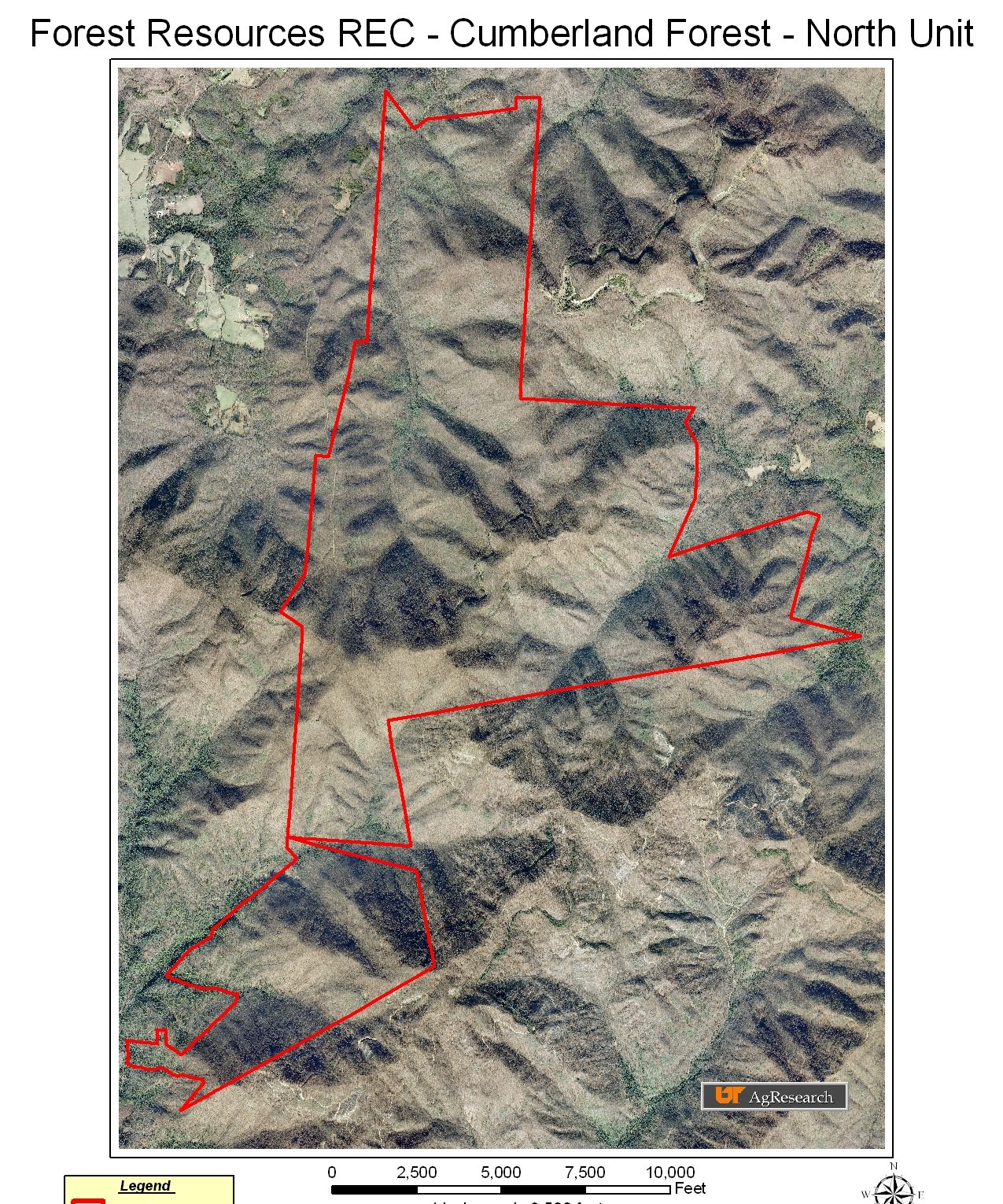
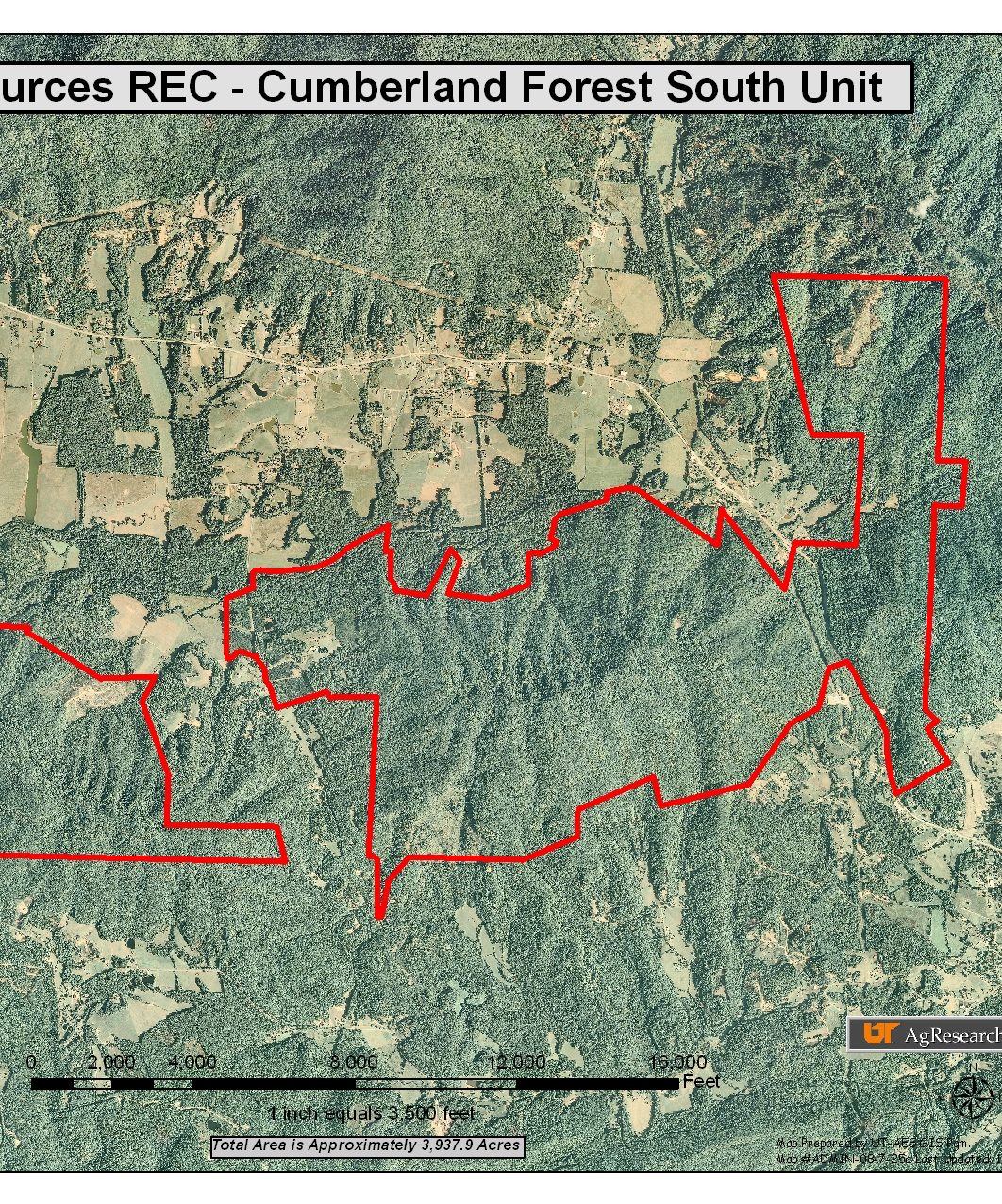
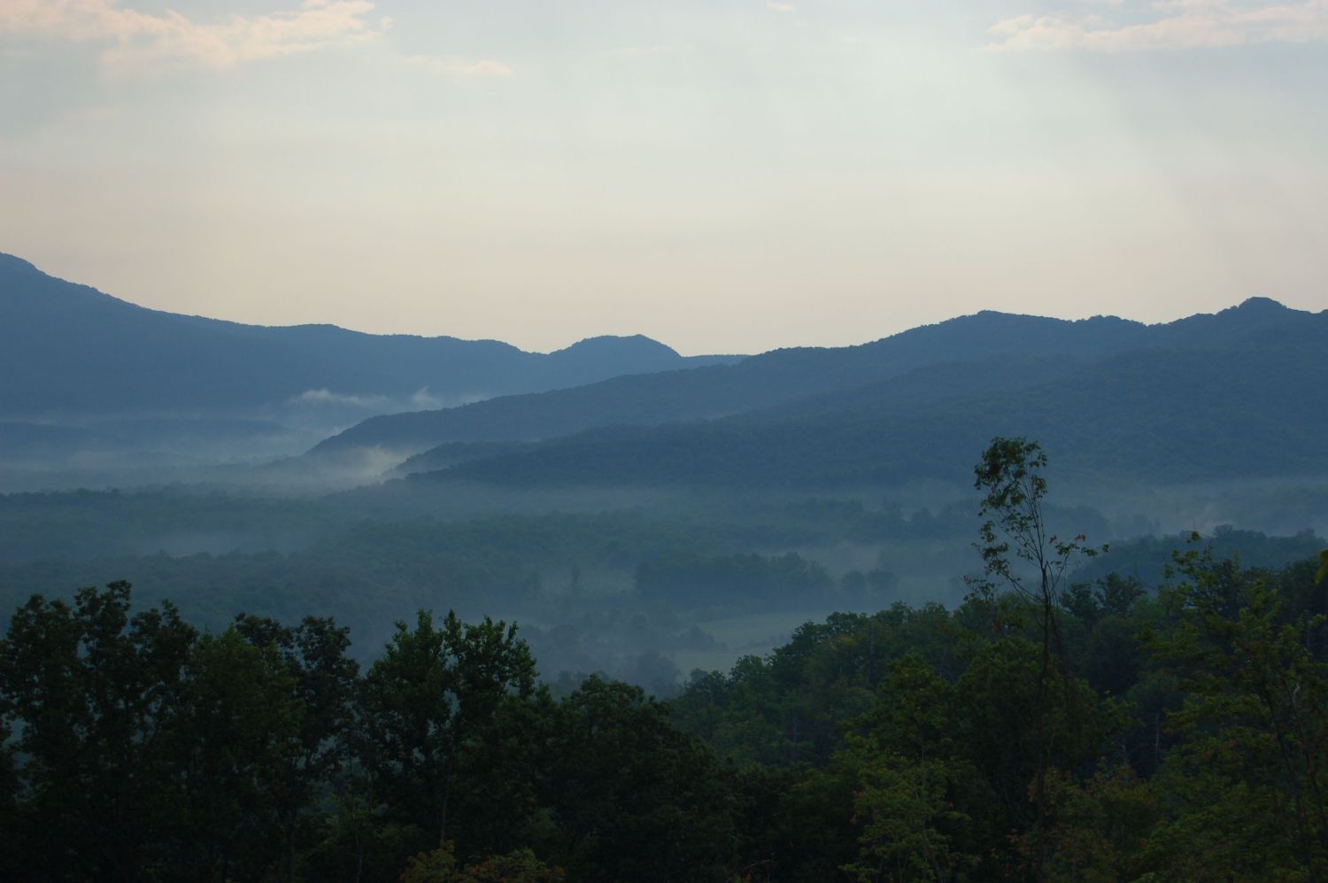
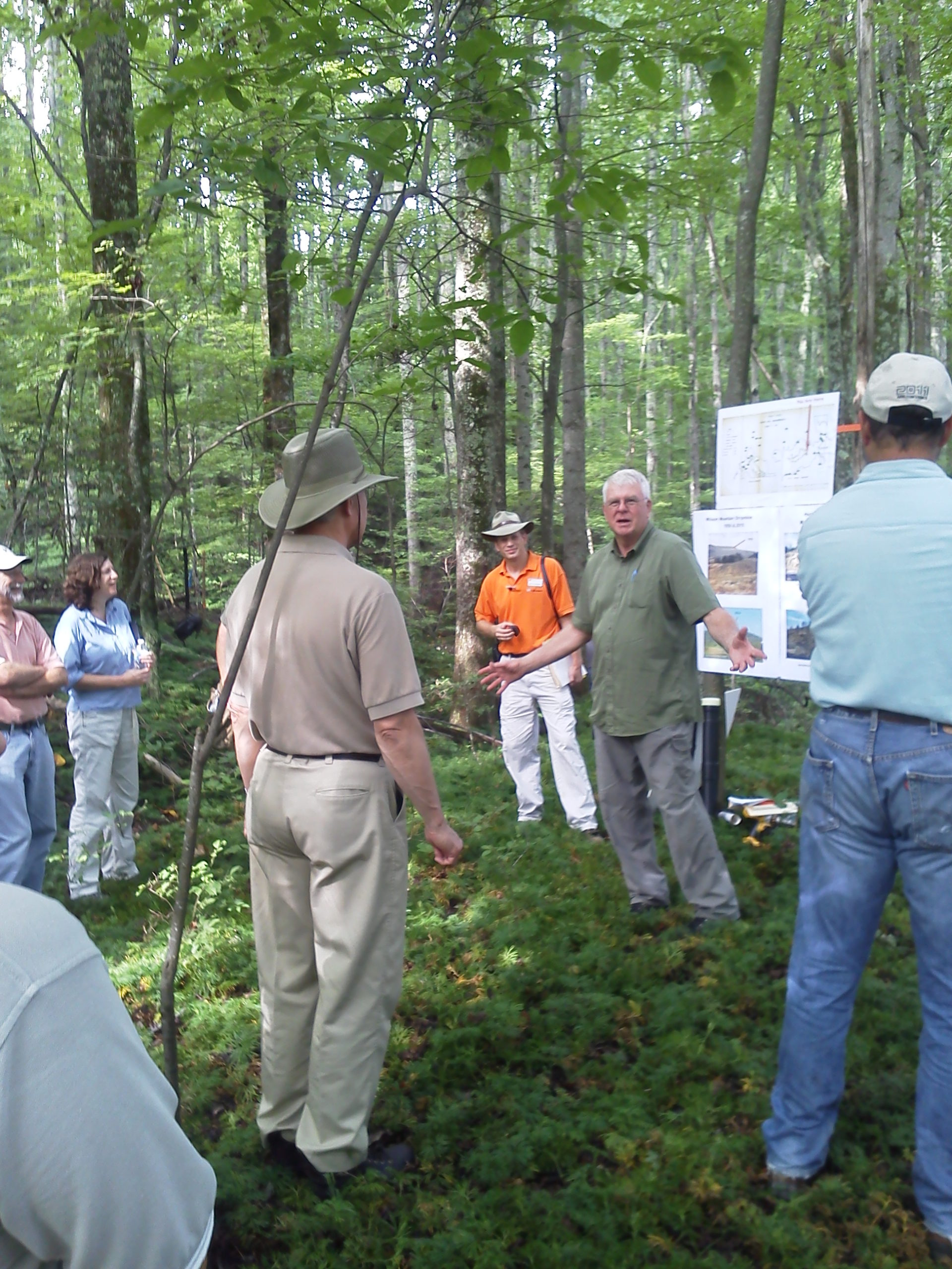
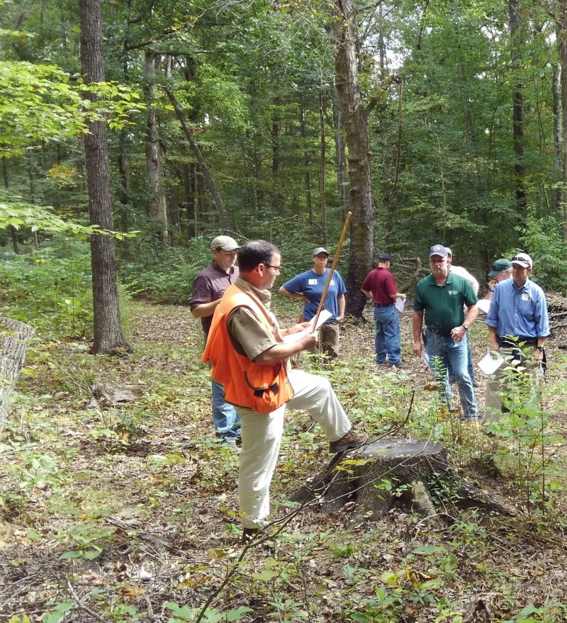
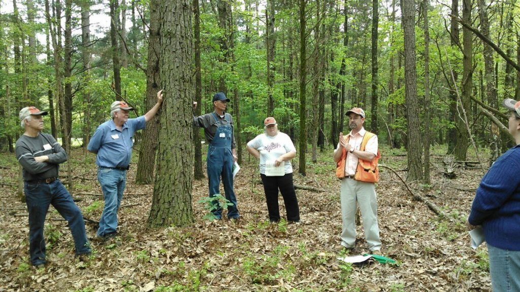
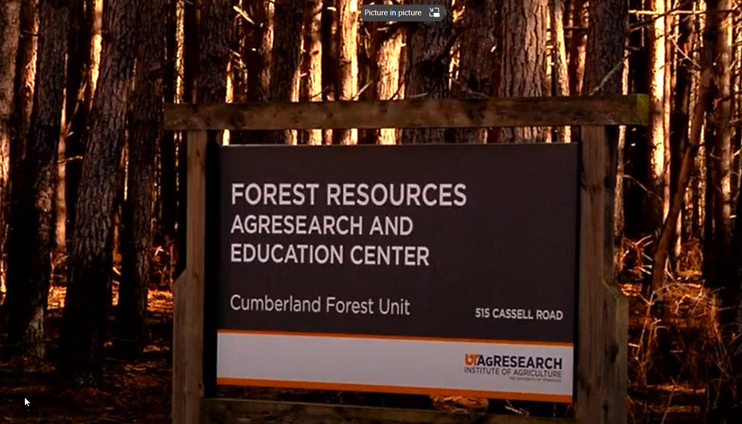
The Cumberland Forest, established in 1947, is the largest field research unit in the UT Forest Resources AgResearch and Education Center, encompassing 8,361 acres of Cumberland Mountain forest land in Morgan and Scott counties.

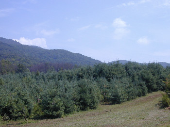
This forest facilitates several large- and small-scale forest and wildlife management research projects, as well as ecological demonstration projects. The Cumberland Forest is also the site of some of the earliest stripmine reclamation research in Tennessee.


Aerial Image icon for Cumberland Forest Nort Unit
Property Map – North Unit
Expand content up
Google Map icon for Cumberland Forest North Unit
Location Map – North Unit
Expand content up
Aerial Image icon for Cumberland Forest South Unit
Property Map – South Unit
Expand content up
Google Map icon for Cumberland Forest South Unit
Location Map – South Unit
Expand content up

Administrative sign for the Cumberland Forest Unit of the Forest Resources AgResearch and Education Center
Cumberland Forest Unit receives American Rescue Plan (ARP) funds.

Project Highlights:

Hornyhead Branch Restoration Project

The Hornyhead Branch Restoration and Habitat Enhancement Project was a cooperative effort between the University of Tennessee Forest Resources Research and Education Center and many local, state, and federal agencies. Goals included improvements and stabilization of the banks of the Hornyhead Branch of the Crooked Fork Creek in Morgan County, Tennessee, as well as providing an educational resource in stream restoration techniques for resource managers and landowners.

Richard Evans, former Director, and Martin Schubert, Manager, UT Forest Resources AgResearch and Education Center received the “Friend of Conservation” award for “Exemplary effort in planning and implementing the Hornyhead Branch Streambank Restoration Project”. The Forest Resources Center also received the 2006 Governor’s Environmental Stewardship Award for the Hornyhead Branch Restoration Project in Nashville. The award was presented on behalf of the Morgan County Soil Conservation District. Representatives of the Soil Conservation District, the Tennessee Valley Authority, Forest Resources staff members, and other award winners attended the ceremony.

Hornyhead Branch

The Hornyhead Branch Restoration and Habitat Enhancement Project was a cooperative project of the Cumberland Mountain Resource Conservation and Development Association, Emory River Watershed Association, Morgan County Soil Conservation District, Tennessee Department of Agriculture, Tennessee Valley Authority, University of Tennessee Forest Resources Research and Education Center, and the USDA-Natural Resource Conservation Service. Funding was provided by the National Fish and Wildlife Foundation, Tennessee Valley Authority, and the Morgan County Soil Conservation District.

The Hornyhead Branch is a tributary to Crooked Fork Creek, a creek listed on Tennessee’s Impaired Waters List for siltation, habitat alteration, and nutrient enrichment. These conditions exist due to historic bench mining, channelization, three permitted discharges, and agricultural practices. Hornyhead echoes the problems facing Crooked Fork. This creek drains roughly 1.04 sq miles of strip mined mountain land (Little Brushy Mountain) as it flows off the UT Cumberland Forest Unit property. It has been channelized and continues to be affected by agricultural practices both above and down stream of the UT property.

The objectives of the project were to:

  1. Improve and stabilize the banks of Hornyhead Branch
  2. Demonstrate various methods of streambank restoration
  3. Raise the water quality of this tributary of Crooked Fork Creek
  4. Use this project for continuing education of stream restoration techniques for resource managers and landowners
  5. Establish and foster cooperation with other agencies in riparian zone management.

Multiple restoration techniques are demonstrated on the 3100 linear feet of creek situated on the Cumberland Forest unit of the UT Agriculture Experiment Station’s Forest Resources Research and Education Center. They include:

Rock V-wier

Rock V-wier


V-wiers provide grade control, keep the thalweg in the center of the channel, and protect streambanks from erosion. They also improve in-stream habitat by creating scour pools and by providing oxygen and cover. Orient arms of the V upstream at 20- to 30-degree angles off the bank. Slope the arms to the point at 2-20% the longer and flatter the structures, the more the streambank is protected and habitat enhanced. The “V” always points upstream with the point setting the grade of the streambed.


Rock Jetty

Rock Jetty


A rock jetty follows the detail of a V-weir but consists of only one arm extending from the bank to the thalweg. While protecting the connected bank and improving in-stream habitat, rock jetty’s are limited in grade control.


Bankfull

Rock Reinforced Bank to Bankfull Height


Rock riprap, properly designed and placed, is an effective method of streambank protection and provides long-term stability even in high-velocity flow conditions. Cost can be prohibitive for large sections and the necessary removal of streambed materials tends to limit aquatic habitat.


Half Bank-full

Rock Reinforced Bank to Half Bankfull Height


Same as bankful height except minimizing rock and thereby reducing overall cost as well as allowing for use of vegetation producing streamside habitat.


Root Wads

Root Wads


Root wads armor a streambank by deflecting stream flows away from the bank. They also support the streambank structurally, provide habitat for fish and other aquatic animals and supply food for aquatic insects. Install root wads at the toe of the bank, as low as possible. Where scour depths are high, place footer logs below the root wad. Rock and vegetation prevent back-eddy scour that may be caused by root wad during high flow.


Cedar Tree Revetment

Cedar Tree Revetment


Cedar trees stabilize eroding banks, add roughness to the stream channel capturing silt and providing aquatic habitat. Increases the potential for capturing fine particulate organic matter, food for many benthic (bottom-dwelling) organisms. Anchor a row of 6 feet long cedar trees along the bank toe. A second row may be installed if necessary as a cost effective method of streambank stabilization and aquatic habitat improvement.


Stream Crossing

Stream Crossing


Crossings should minimize negative impacts on stream stability, sediment transport, aquatic habitat and fish passage while meeting prescribed hydraulic and structural criteria. Fords should have a solid bottom. A ford can be created by excavating soil from the stream bottom and banks then backfilling with gravel over geotextile fabric. This establishes a smooth hard surface for a low water crossing. Material should not significantly impede stream flow or release significant amounts of fine material into the stream.


Re-vegetation

Revegetation


The purpose of revegetating disturbed areas is to reduce soil erosion. It is important to apply a proper seeding mix of “temporary” and “permanent” seed mixtures. Fertilization and liming are often crucial in promoting growth on disturbed sites. “Greening” bare soil also has a significant aesthetic appeal. The addition of woody vegetation along the streambank is critical to improving overall water quality and stream habitat. Streams and riparian vegetation interaction include the effects of leaf litter and plant material on carbon influx, shading, bank integrity, channel shape, seasonal changes in water quality and flow, nutrient cycling, productivity, and pollution abatement.

Restoration of Soil Function on Coal Mine Sites

This research at three sites in Morgan County, conducted by Jennifer Franklin, UT Department of Forestry, Wildlife and Fisheries and Jan Frouz, Institute of Soil Biology, Biology Centre of the Academy of Sciences of the Czech Republic, assessed below-ground and above-ground recovery of these sites that were mined for coal 40 – 50 years ago.

The following article has been assembled from information provided by the authors and is used with their permissions. Anyone wishing to use this article should seek appropriate permission from Jennifer Franklin.

Services provided by an ecosystem, such as carbon sequestration and water filtration among many, are dependant upon the level at which ecosystem processes function. A potential measure of the success of restoration is to measure the level at which various processes and structures are restored in comparison with undisturbed ecosystems. Many of these ecosystem services are related to below-ground parts of ecosystems which are often neglected. We have assessed below-ground and above-ground recovery of sites in the Cumberland mountains (Fig. 1) that were mined for coal 40-50 years ago.

Map of the United States with a rectangle around Tennessee
Map of Eastern and Middle Tennessee

Figure 1 – maps of the sites in the Cumberland

Three sites in Morgan county, TN, at the UT Forestry Research and Education Center and one site in Kentucky were selected on the basis of their age and known history. On each site, 3 types of cover were identified based on maps, existing cover, and the knowledge of landowners and previous researchers:

PINE – Pine plantings that were originally established as research plots. Species varied within and among sites, and all had remained undisturbed since that time. However, a heavy infestation of Southern pine beetle approximately 8 years ago reduced these to small remnants of the original stands within a hardwood forest.

HW – Naturally revegetated areas that were mined, and adjacent to the research plots. No reclamation treatment was applied, and native hardwood forest became established.

CONT – Adjacent forest that was not disturbed by mining activities.

On each site three plots were established in each cover type. In Oct. of 2006 we measured:

  1. Field soil respiration rates by IRGA (LI 6400, LI-COR Biosciences, Lincoln, NE)
  2. Tree species and basal area using a factor 10 prism
  3. Perennial understory vegetation in a 2m diameter plot
  4. Height of yellow poplar (Liriodendron tulipifera) on the Tennessee sites, and trees cores were collected to determine age for site index calculations.
  5. Decomposition rate over the following 6 weeks.

Soils were collected from the top 5cm including the litter layer, 5-10cm, and 10-15cm depths for measurement of:

  1. root biomass
  2. soil chemistry
  3. laboratory microbial soil respiration in root-free soil
  4. composition of soil macrofauna

Site index is commonly used in forestry as a measure of forest productivity and is primarily related to soil factors. Average site index of a common local species, yellow poplar (Liriodendron tulipifera) was 106 ft at an index age of 50 on areas that had been mined. Site index for this species and region averages 87 ft (USDA, 1962). Basal area averaged 29.4 m2 ha-1, compared with an average of 24.7 m2 ha-1 reported for eastern Tennessee in 1999 (Schweitzer, 2000). However, tree species composition differs from that of the adjacent un-mined area, which is dominated by chestnut oak (Quercus michauxii) and scarlet oak (Quercus coccinea), and from composition within the state that is dominated by oak-hickory forest types (Table 1). Areas planted to pine have undergone succession, and pine now comprises less than 10% of the total basal area. Black locust, planted extensively on mined lands from the 1960s to 1990s, was only a minor component of woody vegetation (Table 1).

Table 1. Composition of overstory on previously mined areas (%BA mined) in comparison with species composition in the state of Tennessee (%BA, data derived from Schweitzer 2000b), expressed as a percentage of total basal area.

Table 1 - Composition of overstory on previously mined areas

Soils below the remaining pine have lower respiration rates than naturally regenerated areas or areas that were left to revegetate naturally (Fig. 2). Fine root biomass was highest in un mined area followed by areas revegetated naturally by hardwood (Fig. 3).

Figure 2 - soil respiration rate
Figure 3 - Root biomass

Fig. 2 Average field soil respiration rate in two forest types on mined land (pine and hw) and adjacent unmined forest (cont). Letters indicate significant differences at p < 0.05. Bars indicate standard error.

Fig. 3 Average root biomass in soil depths 0-5 cm (a), 5-10 cm (b) and 10-15 cm (c) on two forest types on mined land (pine and hardwood) and adjacent unmined forest (control). Bars indicate standard error.

Figure 2 - soil respiration rate

Field soil respiration rate was not significantly related to root mass, and appeared to be explained mainly by differences in fine root mass (R2=0.65, p<0.001). On the other hand, soil microbial respiration in root-free soil was higher in undisturbed site and pine and lower in naturally re-grown hardwoods. Differences in microbial respiration may be related to differences in soil chemistry, as preliminary results show differences in total phosphorous between cover type (Fig. 4). Results of soil microfauna, soil chemistry, and understory vegetation are still being analyzed.

Our results suggest that above-ground forest productivity is greater on mined sites than in the un-mined forest, based on tree basal area and site index. However, below-ground processes are still significantly different from undisturbed sites after 50 years.

We would like to thank the University of Tennessee Agricultural Experiment Station, the staff of the UT Forest Resources Research and Education Center, Victor Davis and Patrick Angel from the Office of Surface Mining, Clark Ashby, and John Rizza.

Beck, Donald E.1962.Yellow-Poplar Site Index CurvesRes. Note SE-180. Asheville, NC: U.S. Department of Agriculture, Forest Service, Southeastern Forest Experiment Station. 2 p.

Schweitzer, Callie Jo. 2000a. Forest statistics for East Tennessee, 1999. Resour. Bull. SRS51. Asheville, NC: U.S. Department of Agriculture, Forest Service, Southern Research Station. 60 p.

Schweitzer, Callie Jo. 2000b. Forest statistics for Tennessee, 1999. Resour. Bull. SRS52. Asheville, NC: U.S. Department of Agriculture, Forest Service, Southern Research Station. 78 p.

      Research Highlights:
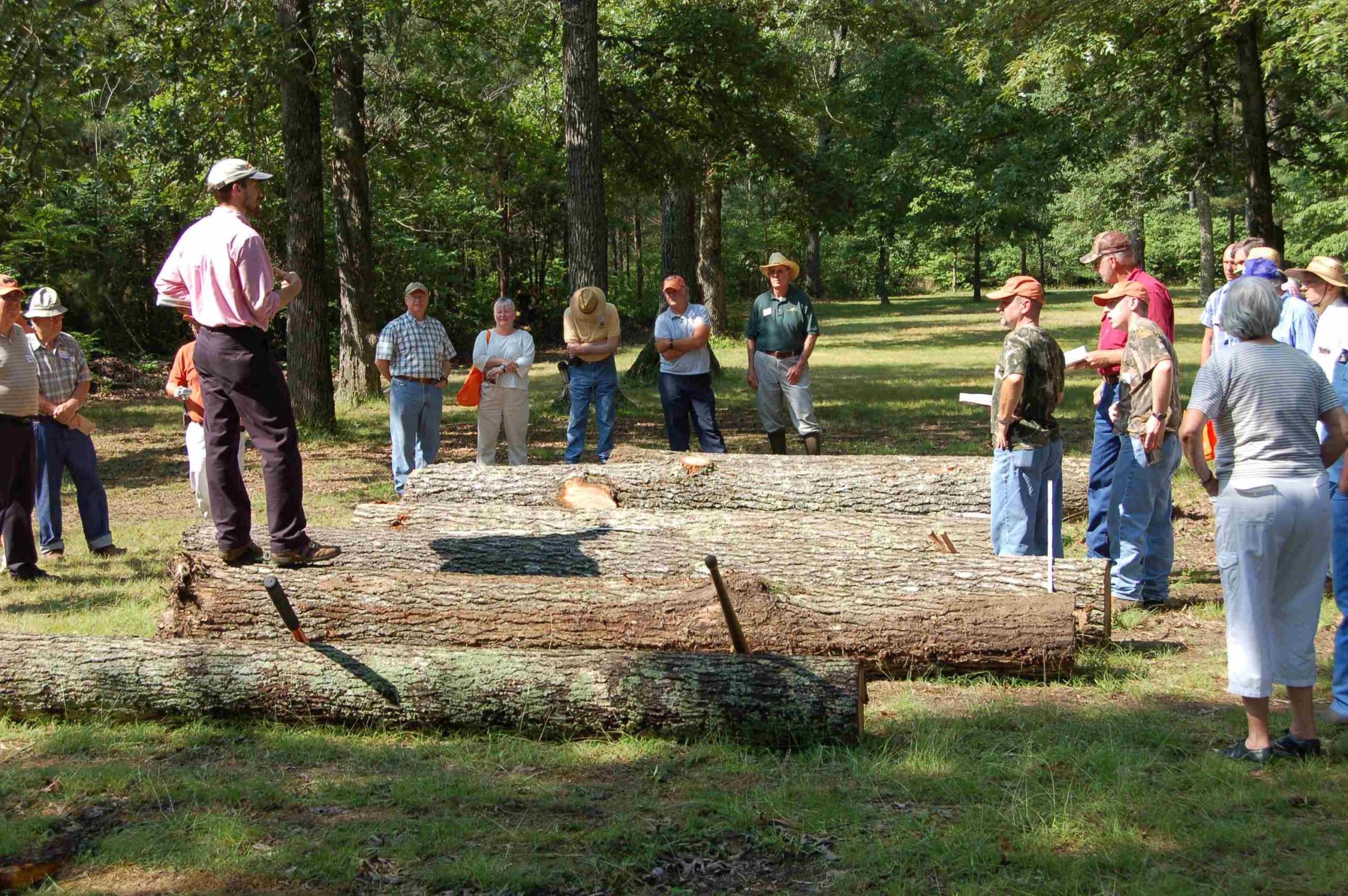
      Forest management

      Forest management is an integral part of the Forest Resources Research and Education Center program. An understanding of forest management requires viewing a forest in terms of “rotation.” The time span between establishment or planting of trees to the mature stage where trees have reached their full potential growth can be 30 to 150 years. But this is not the end of the time line for a forest. By harvesting the mature trees and establishing new ones, the forest is regenerated and another “rotation” begins.

      Each forest presents its own unique circumstances based on soil, water, climate, and environmental conditions. And since all trees do not mature at the same rate, harvesting and regeneration can become complex. Of course, nature is always a factor in forest management. Storm, fire, and disease damage is a reality in a forest. Many trees at the Oak Ridge Forest Unit recently sustained extensive storm damage.

      As part of the Forest Resources Research Center’s ongoing forest management program, the Oak Ridge Forest and Cumberland Forest Units conduct timber harvesting sales. For details about the next scheduled sale, please contact the Center at 865-483-3571 or utforest@utk.edu.

      UT Agricultural Extension Service publication #1523, “Forest Practice Guidelines for Tennessee” provides a more detailed treatment of the subject of forest management. It may be viewed at the Forest Resources Research and Education Center headquarters/visitors center in Oak Ridge.

      Damage after a tornado
      Trees at Forest Resources Research and Education Center
      Measuring trees at Forest Resources Research and Education Center

      Forest management practices at the Arboretum include tornado damage rehabilitation, timber harvest road stabilization and revegetation, and tree growth study.

      Kousa Dogwoods
      Our research is helps develop disease resistance and enhance flowering characteristics in kousa dogwood cultivars.

      The dogwood improvement program has one the nation’s largest collections of flowering and kousa dogwood cultivars and is maintained at the Forest Resources AgResearch and Education Center.

      Every spring there is a showy floral display thanks to the blooms of flowering (Cornus florida) and kousa (C. kousa) dogwoods. These species and their hybrids have spectacular floral displays from late March to late May in Tennessee.

      Flowering dogwoods are very popular ornamental trees that are important both economically and ecologically. Many cities and towns in the US have dogwood festivals and Tennessee is the leading producer of dogwoods in the country. While flowering dogwood is native to the US, kousa dogwood is native to Asia. The two species are very similar in size and form as both are small to medium sized trees with large white, pink, or red bracts that are strikingly displayed each spring. Some of the differences are the bloom time, fruit structure, and bark texture.

      Flowering dogwood blooms about 1 month prior to kousa dogwood and the fruits of flowering dogwood are bright red berry-like drupes, whereas kousa dogwood fruits are a globose pink to red compound drupe. The bark of kousa dogwood becomes exfoliating with age forming a mosaic of grays, tans, and browns. A dogwood improvement program was initiated at the University of Tennessee in the 1990s in response to the destruction of native populations of flowering dogwood with fungal disease dogwood anthracnose. Within less than a decade of the program’s start another fungal disease (powdery mildew) put many small nursery growers in Alabama and Tennessee out of business.

      The University of Tennessee has released five flowering dogwood and three kousa dogwood cultivars that have disease resistance or unique ornamental characteristics. In addition to developing improved dogwood cultivars, researchers are investigating the genetics involved in disease resistance and ornamental traits such as bract and leaf color. The dogwood improvement program has one the nation’s largest collections of flowering and kousa dogwood cultivars and is maintained at the University of Tennessee Forest Resources AgResearch and Education Center.

      Kousa Pam's Mountain

      Cornus kousa ‘Pam’s Mountain Bouquet’ has a unique fused bract structure.

      Kousa Steeple

      Red leaves highlight the canopy of Cornus kousa ‘Red Steeple’.

      Kousa Empire

      Columnar habit and attractive bark of Cornus kousa ‘Empire’.

      Three different pests that have been trapped as part of this project.
      Landscape and forest pest trapping and identification as part of our Integrated Pest Management Research Project.

      The UT Forest Resources AgResearch and Extension Center (UTFRREC) continues to be a valuable and productive field laboratory site supporting several ongoing studies directly valuable for pest-monitoring and management across Tennessee landscapes, nurseries and forests, including:

      Landscape/Forest Pest Trapping and Identification

      (2001-present)
      Survey traps at UTFRREC have revealed many species of longhorned beetles (+ 50 sp.), metallic woodboring beetles (~37 sp.), clearwing borer moths (~20 sp.), and scolytine bark beetles (? sp.); trapping and ID efforts are ongoing.

      Pest Monitoring using Flowering Phenology


      (2010-present)
      TN phenology garden sites use pheromone traps to help monitor ornamental plant flowering times and track seasonal emergence/flight activity of economically important nursery & landscape pests; Sites have also featured weed management and durability trials with bioactive and experimental wood mulch products.

      Thousand Cankers Disease & Walnut Twig Beetle Biology


      (2011-present)
      Biology & interaction studies between trees & fungi are in progress. Pityophthorus juglandis beetles are introduced from the western U.S. and vector TCD of black walnut.

      Research personnel check pest traps:

      Researcher checking pest trap
      Two researchers checking pest traps

      Projects include Tennessee State University, Purdue University, US-Forest Service, Auburn University, USDA-ARS, UT Entomology and Plant Pathology and School of Natural Resources, and Tennessee Dept of Agriculture collaborations.

      Photo Gallery:

      Contact the Cumberland Forest Unit:

      Forest Resources AgResearch and Education Center
      515 Cassell Road
      Oliver Springs, TN 37840

      Martin R. Schubert, Forest Manager
      Phone: 423-324-4925
      Email: mschuber@tennessee.edu